Under the Weather? Yes, But It’s Helping Montana’s Rivers
It's probably not doing much for your Monday mood, but starting the third week in June with a major "winter" storm could be the perfect prescription to improve the Treasure State's summer runoff picture.
At the very least, it will help ease some lingering effects of last winter's "snow drought".
While snow totals aren't as robust as some of the forecasts, a good soaking rain with lower-than-normal temperatures is helping to slow snowmelt, also giving river basins a good soaking as we enter Montana's dry season.
RELATED: May Brought Crazy Weather Sweeps, Even for Montana

Just what the forecasters ordered
When the USDA's Natural Resources Conservation Service released its June report a few days ago, forecasters were saying while spring storms had helped, many parts of the state were still "below normal" for runoff and water supplies this summer.
"Last month brought a mix of snow, rain, and sunshine across Montana. While that is not uncommon weather for this time of the year, some locations did not receive the moisture they needed,” said Eric Larson, NRCS Water Supply Specialist.
Larson says the Kootenai, Lower Clark Fork, Jefferson, and upper Madison only received about 80-90% of normal for May. Other locations like the Flathead and Central Montana had "exceptional" storm totals, receiving as much as 8-13 inches of precipitation.
South Central Montana and the Bighorn Mountains had 4-8 inches. Some basins had 115-170% of normal rain or snowfall.
Fluctuating temperatures have helped
Although we had some hot days in May, Larsen says periods of cool weather "delayed snowmelt". However, there's a wide range of totals. The Tongue and Powder Basins are over 250% of normal. But the Teton, Sun, Marias, and Upper Missouri are only 5 to 15% or normal.
The more rain the better
While some rivers have been running a little higher with snowmelt after last week's hot weather, most are forecast to drop rapidly as drier conditions return this week. Some locations, such as the high country in the Bob Marshall and Glacier National Park had already received 2" of rain since June 1st.
This promises to be an interesting summer for weather, as scientists said last week that the El Niño ocean current has officially stopped, and we've started the transition to La Niña. In the winter, that would mean more precipitation for the Great Northwest. For summer, impacts aren't as profound, but forecasters say there's a better chance of late summer storms which could help ease the second half of the fire season.
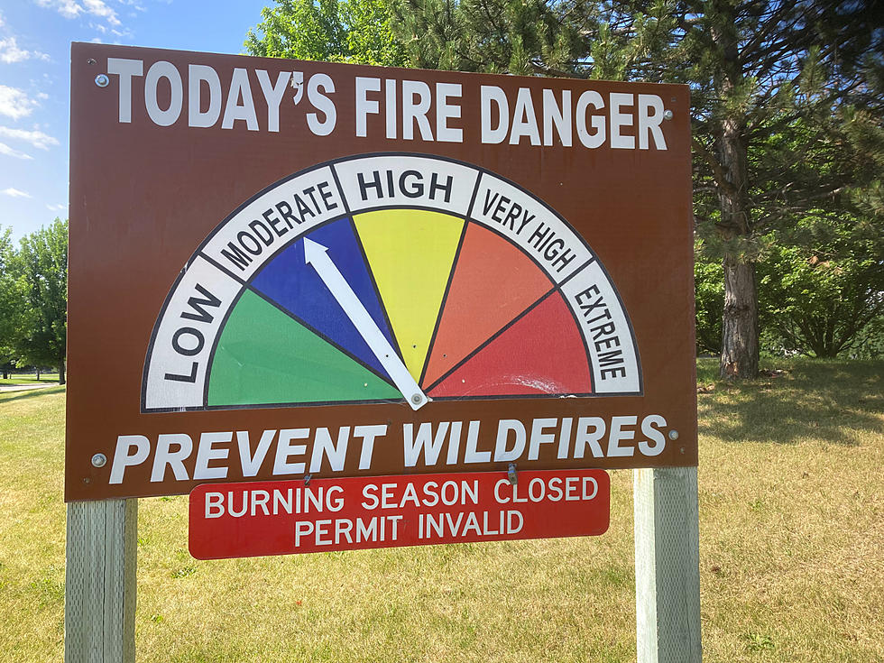
READ MORE: Montana Might Avoid a Dangerous Fire Season, if You Help
See If You Can Identify These Montana Lakes Using Google Earth Images
Gallery Credit: Ashley
More From Newstalk KGVO 1290 AM & 98.3 FM