
Montana Cold More El Niño Than Polar Plunge
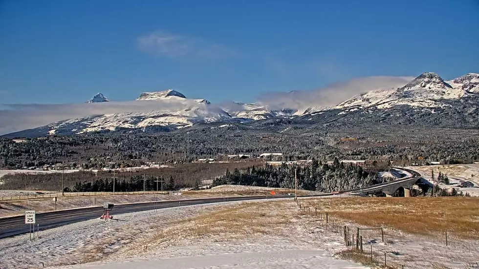
You're likely looking for your winter coat this week, as Montana has switched back from a mild end to October to the introduction of November, with a rush of snow and cold.
While we're caught in the collision between two primary atmospheric forces, climatologists say El Niño remains the primary culprit.
The clash is another example of how the record ocean temperatures are creating a scenario that has already provided some surprises this fall.
Snow sneaking north
The cold, wet weather, which is keeping temperatures at freezing or below, especially in Western Montana, is the second of two major storms sweeping across the country over the past week. Originally, this one looked like it could track across the Central Rockies and only bring limited impact to Wyoming and the southern edge of Montana.
However, the track shifted north, bringing persistent rain and mountain snow to a wide portion of the state. The pattern is similar to the ones that brought early snow to Central Montana out of the southwest a few weeks ago.
A record "polar vortex"
The polar vortex is a swirling band of strong, west-to-east winds located more than 10 miles above Earth's surface in the stratosphere that traps the coldest air on the planet around the poles during winter. But it can be stretched, split, or even reverse direction when hit by warm atmospheric waves from the south.
According to National Oceanic and Atmospheric Administration (NOAA) polar vortex expert Amy Butler, the stratospheric polar vortex underwent a sudden stratospheric warming event on November 10th. High-pressure systems over Alaska and Scandinavia pushed upward, splitting the vortex and reversing the winds. It's the earliest event since records started in 1958.
RELATED: Montana's Odds of a White Christmas
No long-term deep freeze
Forecasters say because the split happened so early, the Arctic had yet to build it's deepest reservoir of cold winter air. The North Atlantic Oscillation is already fading, so NOAA says any chilling effects will be limited and primarily felt in the Eastern United States.
El Niño Still in Charge
While we could see additional snow from a third system later this week, the El Niño pattern remains "large and in charge." That's expected to keep temperatures warmer than average, although forecasters will still be watching the polar vortex, with some of the seasonal models suggesting there could be a second disruption in February or early March.
Montana's Top Ten Coldest Novembers
Gallery Credit: Chris Wolfe
More From Newstalk KGVO 1290 AM & 98.3 FM