Missoula Could Experience Record Cold Thursday Night [AUDIO]
The National Weather Service is predicting possible record cold temperatures in Missoula for Thursday night into Friday morning.
Meteorologist Luke Robinson said the cold front that passed through Wednesday night set up the expected record lows.
"The clouds that accompanied that front will clear away and cold temperatures will depart, and the temperatures will be allowed to plummet," Robinson said. "We are looking for temperatures to get down to at or below record values in the Missoula and Bitterroot valleys."
Robinson said Missoula can expect a hard freeze on Friday morning.
"In Missoula, the record for September 12 is 28 degrees, and we have a forecast of 27 degrees," he said. "We're looking at those temperatures being down in that area for about three hours, probably from six to nine a.m. on Friday."
The National Weather Service has issued a freeze warning from midnight to nine a.m. on Friday, September 12.
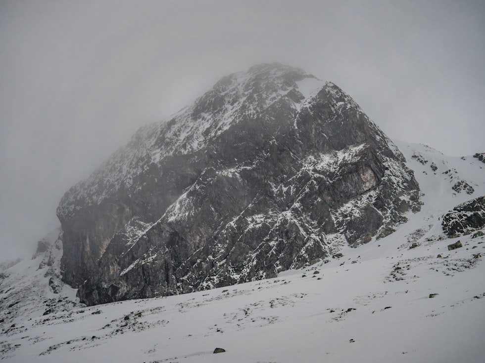
In addition, Glacier National Park closed the Going to the Sun Road due to three to five inches of fresh snow, with a layer of ice underneath. Up to eight inches of snow has fallen in the Black Hills of South Dakota, bringing the earliest snow to Rapid City since 1888.
Robinson said the weekend will bring warmer temperatures and sunny conditions that will continue into next Tuesday.
Meteorologist Luke Robinson
More From Newstalk KGVO 1290 AM & 98.3 FM