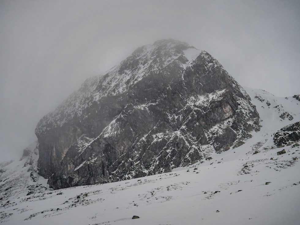
Montana May Be Heading for “Normal” Fire Season
Forecasters are releasing their April 1st fire season outlook, which is the first official look at fire season, and the picture in Montana doesn't look as dire as in other parts of the West.
Northern Rockies Predictive Services Meteorologist Dan Borsum says we're coming off a winter with a "complex" weather pattern, which brought above normal precipitation to the Northern Rockies, and a warm start to 2026. Those conditions, combined with high winds, kicked off larger fires last month, but he says that's not necessarily an indicator of what could happen this summer.
"We had warm temperatures to that limit snow pack growth," Borsum explains. "Yes, we're worried about the snow pack, but the NRGA (Northern Rockies) can still do ok in April, and maybe we can make up some ground. That is not the case in some other parts of the Western U.S., where things look pretty grim with our snow pack."
💧 Borsum says there's actually more residual moisture than you might expect in the soil from those early winter storms, and that will help in the first part of fire season.
"It's still in the system. It's just in the soil. It's not necessarily on the surface; it's not in the snow pack. So, while yes, we did have those conditions at the surface that supported our fire activity in February into March. This might actually be an indicator of what's going to happen with live fuels as they begin to emerge. They may not be as stressed as one would think based on the lack of snowpack."

Borsum doesn't expect much of the way of an impact from the El Niño ocean currents until later in the year.
"A 'super' El Niño has been mentioned by some people, and that's because of how extreme the ocean temperature anomalies are expected to get. But I don't think that's a driver for this fire season. I think it's more of a driver for our fall and winter conditions. - Predictive Services Meteorologist Dan Borsum
Borsum says the forecast, as of this week, indicates a close to normal fire risk through May and into June, although by then, Washington and Oregon, followed by parts of Northern Idaho in July.
READ MORE: Watching for a Super El Niño
March not the warmest on record
March records from the National Weather Service show that last month was among the warmest on record. Bozeman was nearly 11 degrees above average, just under 7 degrees in Butte, and around 3 degrees in the Flathead and Missoula.
Water runoff rebounds a bit
"Those warm March days also came with some rain, and when combined with the mid-March snowstorm, that's helped to rebuild some of the summer water supply.
National Weather Service Hydrologist LeeAnn Allegratto says that's helped most of the basins to rebound.
"We got quite a bit of precipitation through the month of March, thankfully, and for almost all of our area, we're sitting at at least 90% of normal for precipitation or higher." - NWS Hydrologist LeeAnn Allegretto

Allegretto says the problem is with what she calls the "abnormally warm" conditions, which have undermined the "snow water equivalent", the critical measure that determines how much water will be available in the summer.
"Just about the bulk of it did not fall as snow. And while we do have snow in the mountains, above certain elevations, honestly, the majority of it, it was just too warm to fall as snow.:
Allegretto says the "melt off has started a month earlier than it should." The good news is, that means we shouldn't see flooding.
💦 The Clark Fork above Missoula only has a 30% chance of topping flood stage. The Flathead River is only 10%.
Montana's Top 10 Coldest Aprils Since 1895
Gallery Credit: Chris Wolfe
More From Newstalk KGVO 1290 AM & 98.3 FM