Heavy Wet Snowfall Helps Restore Mountain Snow Pack
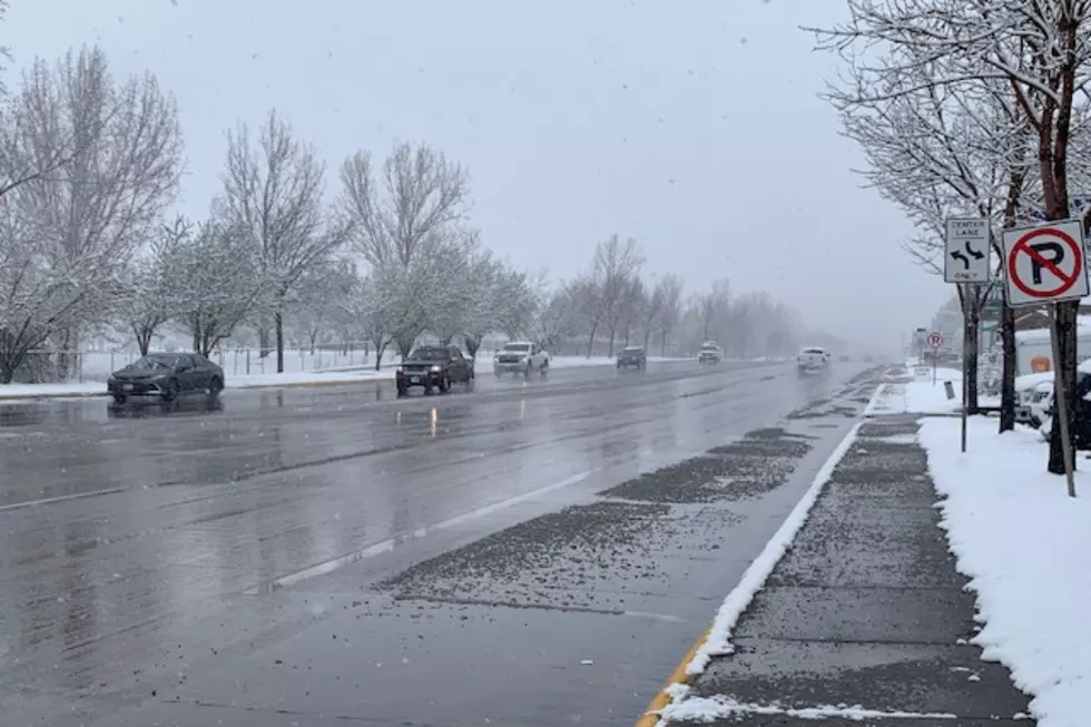
As most of us were snuggled in on Sunday watching football, snow was falling most of the day in western Montana.
Forecaster LeAnn Allegretto with the National Weather Service Office in Missoula said early Monday morning that the snow started earlier than expected and lasted most of the day.
“Here at the office we actually measured 2.2 inches,” said Allegretto. “We have heard reports from the higher elevations in Missoula such as the South Hills area that anywhere from three to four inches fell. So, it really depends on where you’re tuning in from as to what you found locally, but it seems to be from two to four inches generally around the Missoula valley.”
Allegretto said the mountains received between six to eight inches of heavy wet snow, which will be helpful for next summer’s fire season.
“That should bump us up closer to between the 90 percent to 100 percent of normal for this time of year,” she said. “During that week of high pressure we had backed down into the 80 percent range, but this should certainly knock us back up to near the normal range, which is fantastic for an El Nino winter,”
Allegretto said the heavy wet snow is causing concern among avalanche watchers.
“I was looking at the Flathead Avalanche Center in the way of avalanche activity, and the fact that such heavy wet snow fell on a weaker layer could initiate some avalanche activity in the Jewel Basin area, but that was just a testament to how heavy and wet that snow was.”
Not only are the crews at the National Weather Service on the job during a federal holiday, Martin Luther King, Jr. Day, they are also working without paychecks, being included in the federal government shutdown. (A plate of homemade cookies might be a great idea for the staff.)
More From Newstalk KGVO 1290 AM & 98.3 FM


