Heavy Snow to Impact Montana With Risk to Power Lines
Missoula, MT (KGVO-AM News) - The National Weather Service is calling for heavy, wet snow to impact areas of southwestern Montana, including several mountain passes.
I spoke to National Weather Service Meteorologist Alex Lukinbeal on Tuesday who provided details of the incoming system.
Heavy Snow is Possible in Southwest Montana into Thursday
“We have a potent Pacific low-pressure system that's going to be moving across central Idaho down through southwest Montana,” began Lukinbeal. “It's going to be wrapping a lot of moisture around that low pressure causing the snow levels to drop anywhere from about 4,700 feet to 5,000 feet Wednesday night into Thursday morning.”
Lukinbeal said those traveling over mountain passes in the area should be prepared for heavy snow.
“The main areas of concern for heavy snowfall are really going to set up down in southwest Montana,” he said. “That would include the I-90 corridor, anywhere from about Anaconda down through Butte. Other areas along the divide and over the mountain passes like Georgetown Lake, McDonald Pass, and Homestake Pass are going to be seeing the brunt of the heavy snow and that's where our confidence is increasing for at least anywhere from about six to 12 inches of snowfall.”
Georgetown Lake, McDonald, and Homestake Passes to be Affected
Lukinbeal said some areas affected could see new records set for snowfall this late in the spring.
“I also do want to mention that there is potential for snow even in the valley locations,” he said. “Places like Phillipsburg, Anaconda and Butte. There's kind of a low threat that we could potentially be seeing five to six inches of snow in Butte. In fact, there’s a 10 percent probability that you might have the most snow in late May since 1999.”
I asked Lukinbeal how this system might affect the upcoming wildfire season.
READ MORE: Snow then 80? Sure Because It's May in Montana
The Heavy Spring Rain will help Western Montana's Water Levels
“The spring rains are definitely an important piece of the puzzle,” he said. “We look at fire season and the widespread nature of this precipitation is definitely going to have at least short-term impacts as far as there being areas of abnormal dryness and the drought in place. There's potential for this system and then there's another system showing up this weekend that's going to be bringing another round of rain. I think the bottom line is, at least in the short term, this precipitation is going to be beneficial to help us get closer to that normal precipitation for a lot of areas throughout the year and potentially have some consequences to hopefully impact the drought.”
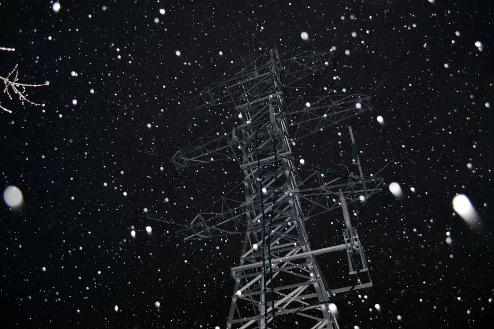
One aspect of the storm will be possible power outages given the heavy wet snow on trees and power lines.
20 Best Montana License Plate Designs
Gallery Credit: Will Gordon
More From Newstalk KGVO 1290 AM & 98.3 FM


