Another Foot of Snow Expected This Week – Heavy Wet Snow Friday
Did you enjoy this ‘white Christmas’? Get ready, because ‘you ain’t seen nothin’ yet’.
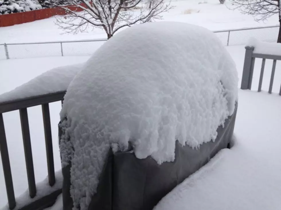
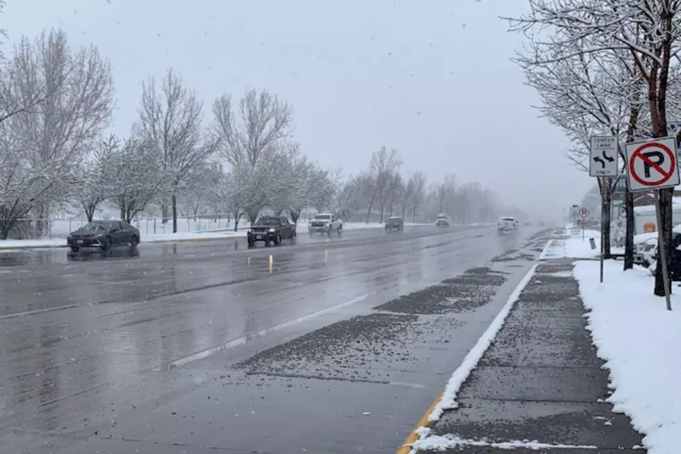
The National Weather Service is predicting a brief respite on Tuesday, just enough time to dig out from the Christmas Day snowfall, officially noted at just four inches at the airport, to fuel up the snow blower for up to a foot more valley snow through Friday, with much higher amounts in the mountains.
Meteorologist Genki Kino told KGVO News that starting Wednesday, the snow totals will increase dramatically.
“Overall, it’s going to be a snowy next few days,” Kino said. “We could see up to a foot of new snow for Missoula. Across western Montana, there should be a foot of new snow, possibly even more.”
Making the situation even more interesting is the kind of snow that the area will receive by the end of the week, due to the increasing temperatures.
“Temperatures will be warming each day, culminating on Friday, with what might be termed a ‘Pineapple Express’, with a warm air mass moving in bringing with it heavy wet snow, and in Missoula we should be hitting about freezing for the high, and in the Bitterroot they may actually have rain.”
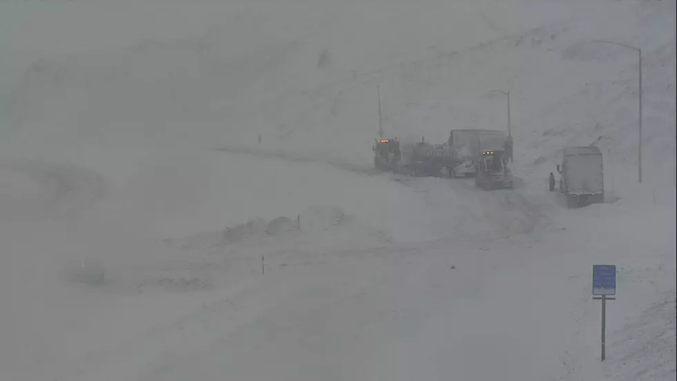
Kino said the mountain passes, Lost Trail, Lolo, and Lookout will be hard hit with heavy snow throughout the week, making driving conditions even more hazardous.
Asked when the conditions will improve to sunny skies and 70 degrees, Kino said, ‘May, maybe?’
More From Newstalk KGVO 1290 AM & 98.3 FM


