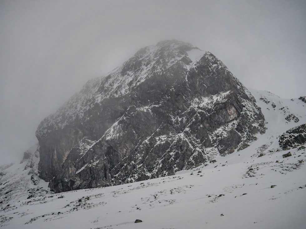
A Taste of Winter Weather Headed for West Central Montana
Before most Missoulians can rake up their autumn leaves, they could be under a coverlet of light snow by the weekend, according to the National Weather Service.
Meteorologist LeeAnn Allegretto provided details on the system moving into Montana from the north this weekend.
“It's coming down out of Canada and I think it's going to stay,” said Allegretto. “The bulk of the impact is going to stay east of the divide, or at least along the divide. It's really going to depend on how far west that cold air is going to go. At this time we're not expecting the Missoula and Bitterroot Valley to accumulate any snow. Will we see a few snowflakes in the air? Yes, we may.”
Allegretto said the chance of snow varies, however the temperature will definitely be much colder this weekend.
“Whether it sticks or not is still in question at least we don't have as much confidence as we'd like right now to say yes or no but at this time it is definitely going to feel a lot colder,” she said. “It's going to be rain Saturday, maybe change to snow overnight Saturday, but the best chance for snow and for snow to stick in the Missoula and Bitterroot Valley will be Sunday into Monday.”
Allegretto said the introduction to winter will be relatively brief and gentle for western Montana.
“You know, the most likely scenario is up to an inch of snow,” she said. “But if the colder solution comes through and that colder air does make it further west of the divide, we could easily see two three inches. But I mean, it's definitely a wake up call for sure. It's that time of year.”
Snowfall amounts of 2 to 4 inches are expected on Lost Trail Pass, while Lookout and Lolo Passes will see between 1 to 3 inches.
KEEP READING: Get answers to 51 of the most frequently asked weather questions...
More From Newstalk KGVO 1290 AM & 98.3 FM