41 Complex is Mainly “Up Top” – Sept 7
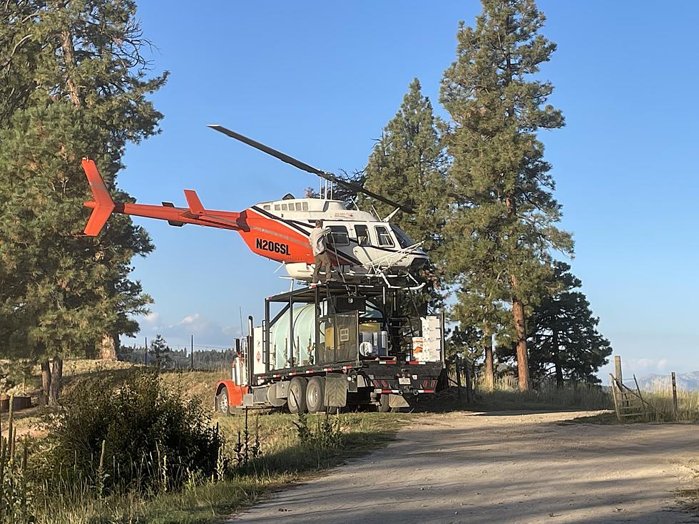
The 41 Complex of forest fires in the Sapphire Mountains east of Hamilton is mainly the Up Top Fire, which has now cross Skalkaho Highway on its way south. Of the total 3,700 acres, the Up Top Fire is 3,627 acres, while the 41 Fire is 105 acres and is 90 percent contained, according to Public Affairs Officer Tod McKay.
The Up Top Fire is about 13 miles east of Hamilton and grew in the 90 degree temperatures Tuesday.
The Skalkaho Highway had been closed earlier, due to the fire, but now two rockslides have also cut off access to Skalkaho Pass. Because of the numerous rockslides on the road, the fire managers are assessing their options for getting people around to fight the fire.
Meanwhile, the 840-acre Coyote Meadows fire and the 250-acre Fox Peak fire are growing. They are both 25 miles northeast of Darby south of Signal Rock.
A Northern Region Type 1 Incident Management Team will assume command of the fires Thursday. They will work in cooperation with the Bitterroot National Forest and the Hamilton Fire Department.
A fire information trailer has been set up at the Canyon View Church near the intersection of Skalkaho Highway with US 93 south of Hamilton. Currently, the trailer is open from Noon until 8pm each day.
More From Newstalk KGVO 1290 AM & 98.3 FM