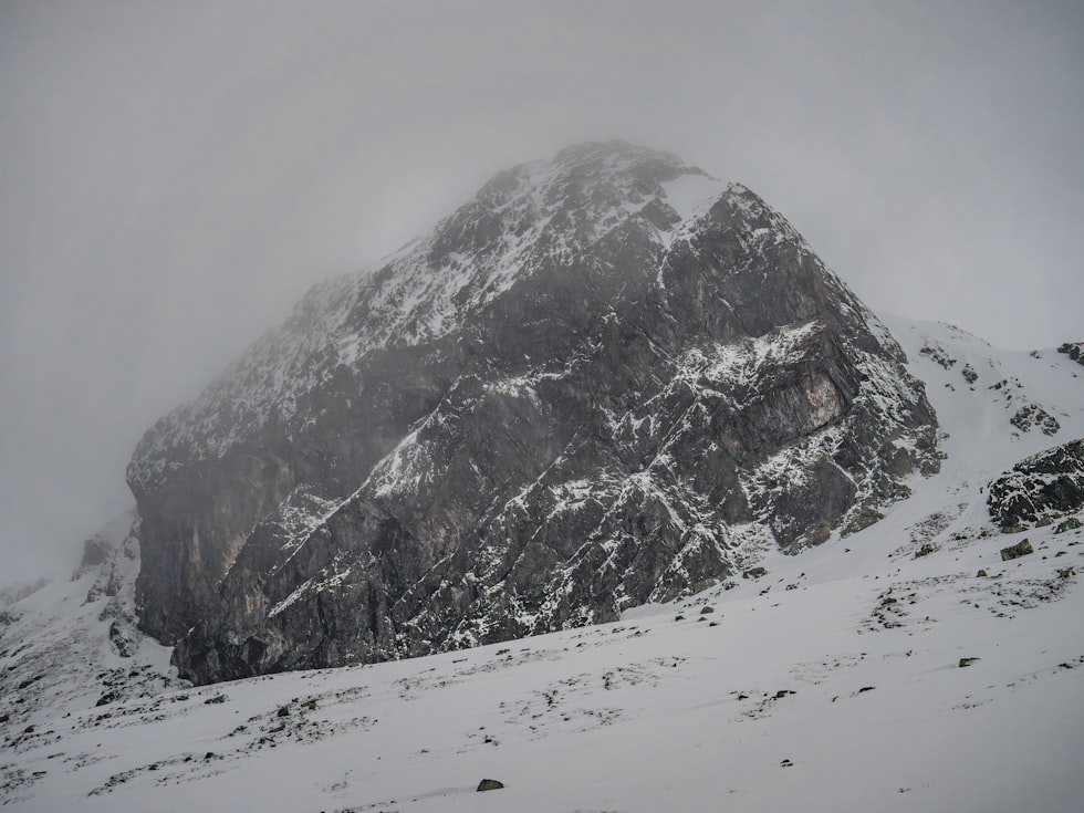
Weather Alert: High Impact Snow and Freezing Rain for Montana
If the cold, but sunny weather has lulled you into a sense of weather security this week, it's time to pay attention.
That's because National Weather Service forecasters say confidence is high for a change to snow, along with freezing rain pushing into West Central Montana to end the week.
That means a moderate risk for high impacts extending through the weekend and into early next week.

Is freezing rain forecast for this weekend?
That could be the biggest risk, especially if you need to travel Friday into Saturday morning.
The forecast office in Missoula says precipitation could start in Northwest Montana, especially in Lincoln County, as soon as Thursday evening and then spread east and south into Friday. As temperatures warm precipitation will mainly be rain.
However, with all the cold trapped in the valleys, and the frozen ground, that precipitation could easily turn to freezing rain with peak intensity is expected from Friday evening through Saturday.
RELATED: Voting is open to name Missoula's snow plows
Pass travel could be difficult
Locations like I-90 from Lookout Pass east to Garrison Junction, and Highway 93 from Evaro Hill south to Lost Trail Pass could poss the biggest problems with icing. But other locations like the Flathead and Misson valleys will be slick as well.
Marias Pass could be challenging, with NWS forecasters in Great Falls warning of up to 6 inches of snow along the Northern Divide.

Snow to follow
Snow levels will start to fall again by Saturday evening with snow likely Sunday. Accumulations could range from 1 to 3 inches, with more possible in the higher valleys.
NWS says there's a 35% chance snowfall will continue into Monday afternoon.
Journey Along a Hiking Trail to a Hidden Montana Ice Cave
Gallery Credit: Ashley
More From Newstalk KGVO 1290 AM & 98.3 FM