No End in Sight for Montana’s Developing ‘Snow Drought’
It's probably too soon to declare this winter a complete loss when it comes to building Montana's important snowpack.
But experts tracking the mild conditions, with fluctuating temperatures and limited mountain snowfall are worried there's a lot of ground to make up in the next month if our snow supplies will be adequate to get us through the winter season, let alone next summer.
And so far at least, the conditions are hitting right on the meager El Nino-impacted forecasts that were released months ago.
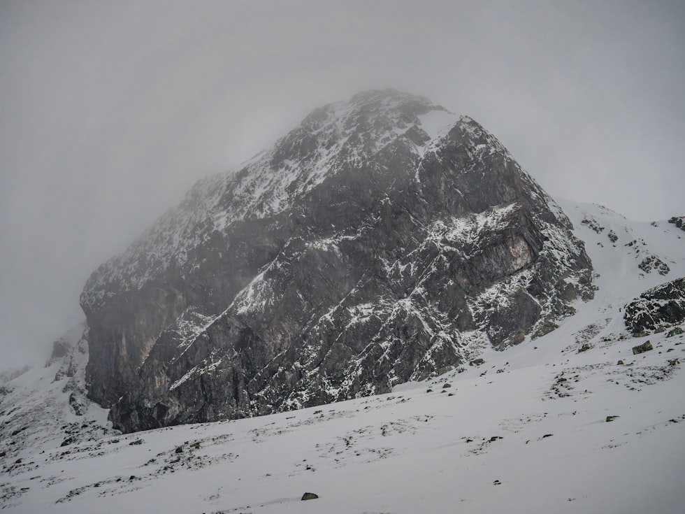
No consistent snowfall
Last summer when the El Nino sea surface temperatures began to form, long-range forecasters were warning of the impacts, which here in the Pacific Northwest historically means drier, milder weather.
National Weather Service hydrologist Ray Nickless, who's tracked these changes for many seasons, says the pattern is following the forecast.
"So when we get into those El Nino years, it's typically what we've been seeing," Nickless notes. "You know, where you get these rain kind of events in the winter months. You don't really build your snowpack in mild conditions. Especially up in the mountains. We get some versions down in the valley. So it just bounces back and forth like this."

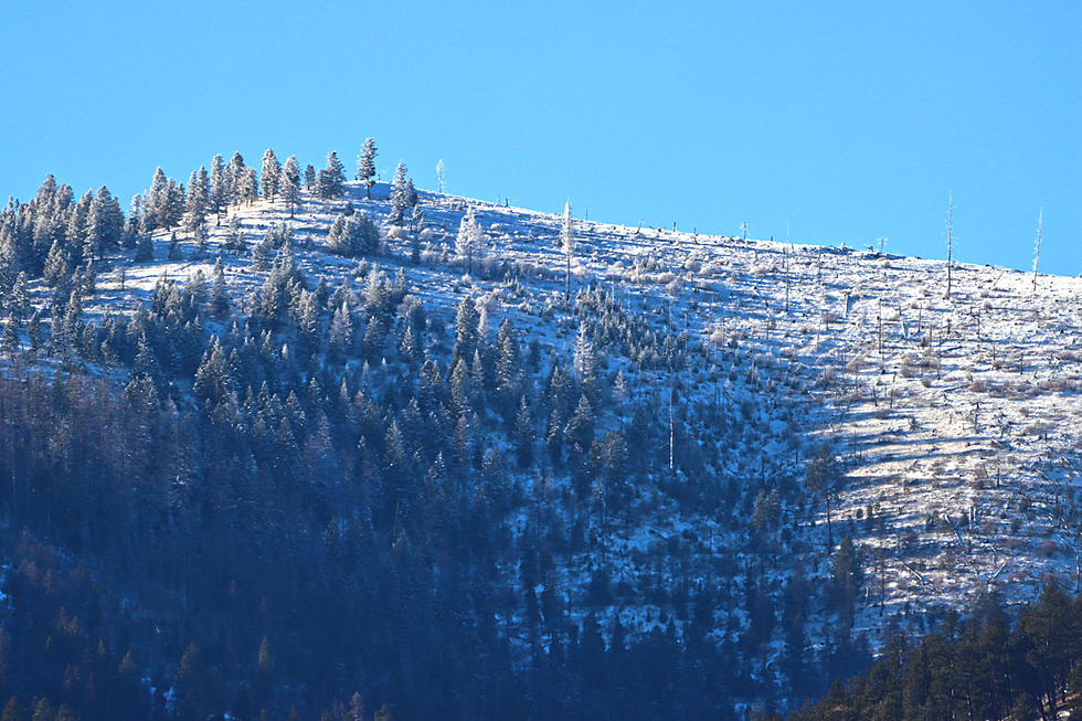
The latest readings from the Natural Resources Conservation Service show only a handful of SNOTEL sites show more than 30" of snow. Most range from 12 to 24". But some locations, such as on the Rocky Mountain Front were only showing only a few inches. And snow water measurements are running far behind, with only 53% in the Upper Clark Fork Basin, and as little as 37% in the Sun-Teton-Marias Basin.
No combo of cold air AND moisture
Nickless says the Northern Rockies haven't been getting the "consistent cooler air coming out of Canada", combined with the moisture coming out of the Gulf of Alaska that generates our best snowfall.
"If we could get into something like that, that would be great because, typically here in Western Montana especially, December and January are the biggest snow accumulation months for the mountains."
Nickless says the "split flow" caused by El Nino tends to allow the storms to "dive into California" and go across the Southwest.
"That's not good because it gives us doesn't give us that direct moisture off of the Northern Pacific that you know we typically can get in most of our normal or La Nino-type years," Nickless explains.
Will the pattern break?
Nickless says the very strong El Nino that took effect in the fall shows no sign of weakening. In fact, the long-range forecast doesn't show any significant snow coming through at least Christmas, with the NWS seeing temperatures running as much as 5 degrees above normal.
"We'll just have to have to deal here as we go through the rest of this winter and hope at some point we can get some snow at least you know."
RELATED: Montana May Not Need Snowtires Anymore
Montana's Top 10 Record-Setting Wild Weather Events
Gallery Credit: Brian Lee
More From Newstalk KGVO 1290 AM & 98.3 FM