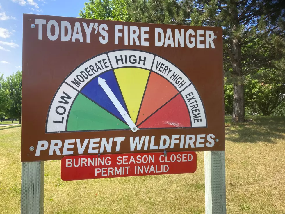
Cold Front Bringing Snow to Higher Elevations This Weekend – Good News for Hunters
Snow is expected Halloween night through Saturday in upper elevations near Western Montana. National Weather Service Meteorologist Ryan Leach said the cold front will move into central Idaho and far northwestern Montana Friday night and move across the Continental Divide by Saturday evening.
"There's a pretty strong cold front that is headed our way. It's going to be coming through Friday night and Saturday," Leach said. "We're expecting most of the moisture with it to stay pretty far south and mainly affect areas such as Salmon and Lemhi County, Idaho. We're also concerned about Homestake and MacDonald Passes over by Butte."
The main punch of the system, Leach said, will stay around Lost Trail Pass and the Continental Divide. As far as Missoula is concerned, rain is likely.
"Missoula proper, it's mainly going to be rain as it comes through here, and again it depends on where that system in the south, exactly how far north that lines up," Leach said. "But, not too much here in Missoula. Mainly it's going to fall as rain. The lowest snow level is looking to be between 4,000 and 5,000 feet on Sunday morning and we may still have some lingering showers across the area behind the cold front which would give us some light snow. That's when is most likely, I think, to see a light dusting or less than an inch of snow here in town."
Snow has already fallen in places like Lolo Pass, which Leach said, should be very helpful for hunters this weekend.
More From Newstalk KGVO 1290 AM & 98.3 FM