Snow Reported Above 8,000 Feet In The Bitterroot Mountains [YouTube]
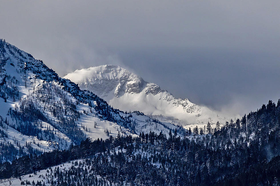
The National Weather Service is reporting snow above 8,000 feet in the Bitterroot Mountains.
Yes, it's July 27, but a cold moist front has been moving through western Montana all day on Monday. Meteorologist Jeff Kitzmiller said the front is unusually cold for this time of year.
"It's really a cold low that we have moving into the region," Kitzmiller said. "Right around some of our highest peaks, it's cold enough that we're actually seeing some snowfall.The main report is at Saddle Mountain in the Bitterroot Range located southwest of Hamilton. It's around 8,000 feet and the peak is at 8,100."
Kitzmiller said there won't be much accumulation with this system, except in the higher elevations.
"Right now, we don't have any reports on the accumulation, it just seems like the snow has been falling, but we are expecting maybe over some of the higher peaks. If you're up at Trapper Peak, which is over 10,000 feet, I'll be you'll find some accumulation."
Kitzmiller said the cool. moist system will be heading eastward by Tuesday afternoon, with temperatures returning to the 80's by the middle of the week.
More From Newstalk KGVO 1290 AM & 98.3 FM