New Storms Needed to Make-up for Montana’s Dry Winter
With a paltry snowpack and precious little precipitation, Montana's summer water supplies need some major help from winter storms in the coming weeks.
And a return of a northwesterly storm track, combined with an Arctic cold snap later this week, might be exactly what we need.
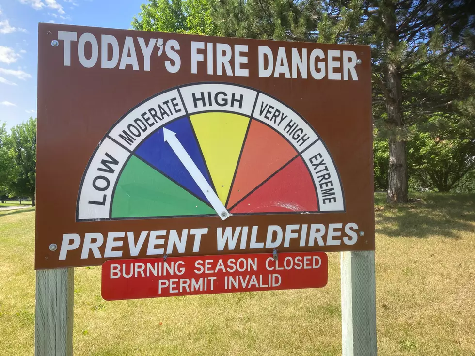
It couldn't come at a more critical time, with some parts of the Northern Rockies snowpack at barely a quarter of what it should be this time of the year.

First water supply outlook is worrisome
The January 1st report from the USDA Natural Resources Conservation Service paints a pretty grim picture for Montana's water supply in 2024, with many areas of the state falling far short of the marks you would hope to see at this point in the winter.
While snow fell as early as October, that was followed by weeks of warmer weather. And while that kept precipitation totals up, especially in Northwest Montana, a long dry spell in December has many of Montana's basins showing very low snowpack as the 2024 "water year" starts.
"Precipitation was largely absent during November and December, except in northwest Montana which received reasonable precipitation during the first half of November and December,” said Eric Larson, a water specialist with NRCS. "Two-month precipitation in that region was about 75% to 100% of normal. SNOTEL sites in the northern Whitefish Mountain Range received about 130% of normal precipitation over the two months. Across the rest of the region, November and December precipitation was about 40% to 60% of normal."
That means snowpack development is way behind
Precipitation totals are about 50-to-80% of normal west of the Continental Divide, largely because of that October snow and rain.
However, snowpack amounts show the problem created over the past few weeks.
As of last week, Montana's seasonal snowpack ranges from only 25% of normal along the Rocky Mountain Front in the Sun, Teton, and Marias River Basins, to 75% in the Bighorn basin and other areas at just 60% of where they should be at this time of the winter.
Will cold and snow help?
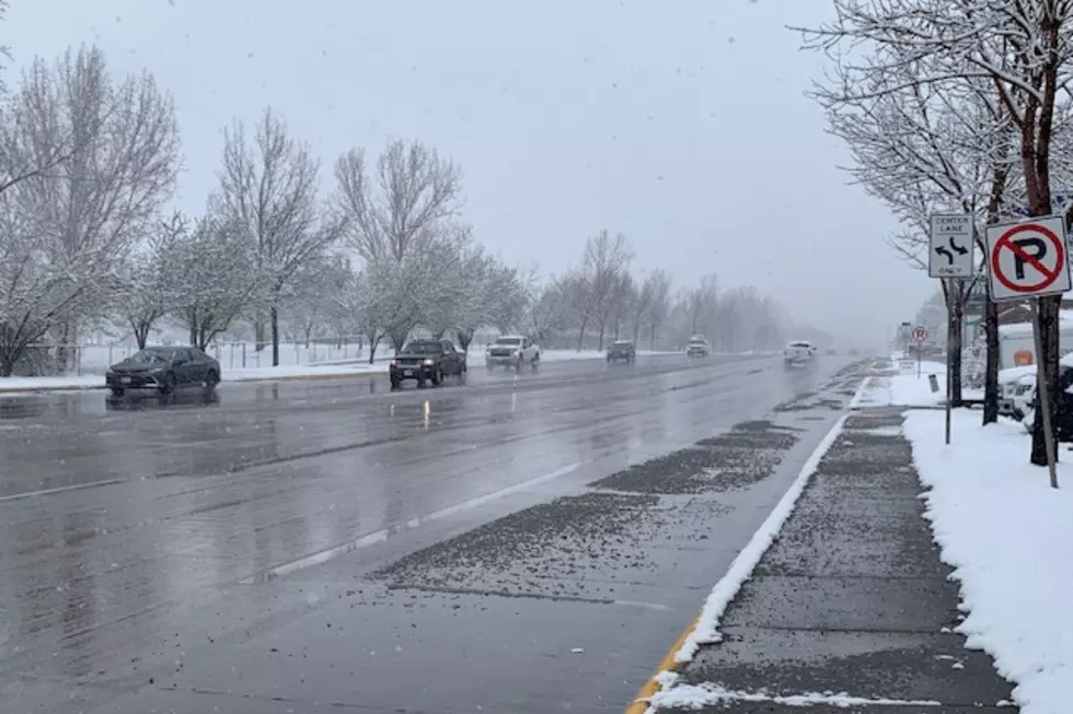
For the first time this winter, the Northern Rockies will be under the influence of a strong, northwesterly flow bringing badly needed moisture off the Pacific. With a strong push of Arctic air also in the forecast, that can be a beneficial combination.
The National Weather Service is forecasting a foot or more of mountain snow, and several inches in some of the valleys as temperatures drop to sub-zero by the second half of the week. Hydrologists have said we could still make up for lost time. But that trend will have to continue for several weeks.
LOOK: Biggest snowfalls recorded in Montana history
Gallery Credit: Stacker
More From Newstalk KGVO 1290 AM & 98.3 FM