Batten down the hatches, because something called ‘a classic arctic intrusion’ is headed for Missoula, and it is due to arrive on Sunday with very cold temperatures, snow and gusty winds.
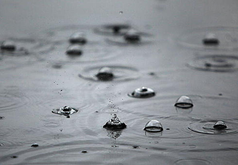
All this week, surface snow will be melting away with highs reaching the mid to upper 40’s throughout western Montana, according to the National Weather Service.
The National Weather Service, in conjunction with the Missoula City County Health Department has declared that an Air Stagnation Advisory is now in effect in the Missoula valley.
With up to a foot of snow over the past 48 hours, Mother Nature is playing a cruel joke on drivers in Missoula and western Montana today with a good dose of freezing rain over the snowfall.
As if this big dump of snow wasn’t enough, the National Weather Service and the West Central Montana Avalanche Center are predicting winds of 50 miles per hour or higher for travelers and avalanche danger for back country recreationists.
The National Weather Service is predicting a strong weather system that will deposit up to eight inches of new snow in the Missoula valley this week, with a possible three feet of snow in the surrounding mountains.
There has never been a warmer day in December in Missoula history than Wednesday, December 1 when the temperature soared to 67 degrees, setting a new record for Missoula.
You may not have been awake to realize it, but Missoula set a new record high temperature for this date of 57 degrees, but the interesting part is that the record was actually set in the middle of the night, in fact at midnight on Monday morning.