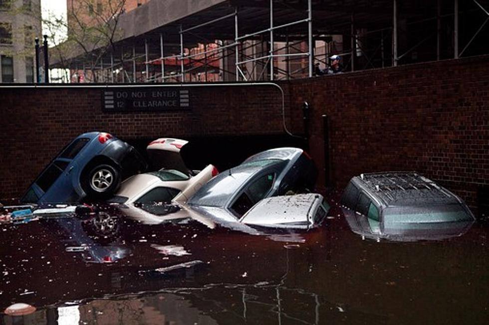
Superstorm Sandy
NEW YORK (AP) — Hurricane Sandy is gaining strength and has taken a left turn toward the East Coast and its date with two other weather systems. An official with the National Oceanic and Atmospheric Administration is calling it "the worst-case scenario."
The storm, with tropical storm-force winds extending almost 500 miles from its center, is expected to blow ashore along the New Jersey coast tonight or early tomorrow. Combined with high tides and a full moon, it brings the fear of a huge surge of seawater.
The combined storm is expected to affect everyone from the East Coast to the Great Lakes, with up to 3 feet of snow forecast for the West Virginia mountains.
Airlines have canceled thousands of flights in the Northeast and air travel could come to a halt for at least two days. That has caused a ripple effect across the globe.
More From Newstalk KGVO 1290 AM & 98.3 FM
![After Sandy – The Jersey Shore Then and Now [PHOTOS]](http://townsquare.media/site/583/files/2013/10/IMG_1533-e1382707612958.jpg?w=980&q=75)

![Bitterroot Area Sawyers Helping With Superstorm Sandy Damage [AUDIO]](http://townsquare.media/site/119/files/2012/11/sandy-damage.jpg?w=980&q=75)


