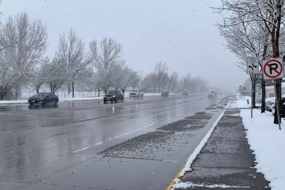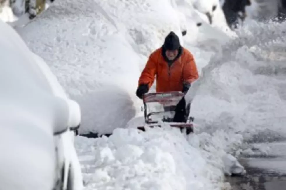
Missoula Valley Expected To Receive Four To Six Inches of Snow Thursday Into Friday
Missoula had a small taste of snow on Sunday night into Monday, but the National Weather Service says the valley could get a much larger helping Thursday night into Friday.
Meteorologist Ryan Leach said the colder temperatures headed our way in the middle of the week will stay on the valley floor, and could mix with a very moist system heading into the area.
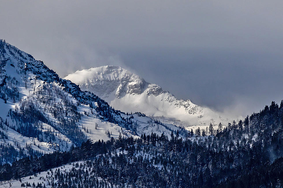
"This system will fill up the valley with cold air, colder than we've seen in a long time," Leach said. "We're looking at temperatures down around zero degrees or the single digits for a low come Wednesday morning. Then, Thursday afternoon and into Friday the next weather system will be very warm and wet, but it's going to run into all that cold air in the valley. Normally, all that warm air would bring rain, but because of all the cold air in the valley, it'll come down as snow. In a 48 hour period, we're looking at anywhere from four to six inches of snow in Missoula and the northern Bitterroots, and then, of course, we'll have much more than that in the mountains. We're looking at adding another foot of snow, especially in the Bitterroots and Clearwaters."
Leach said the system will spread snow over about a 48 hour period, but he said there may be a series of smaller systems moving through to close out the coming weekend.
More From Newstalk KGVO 1290 AM & 98.3 FM