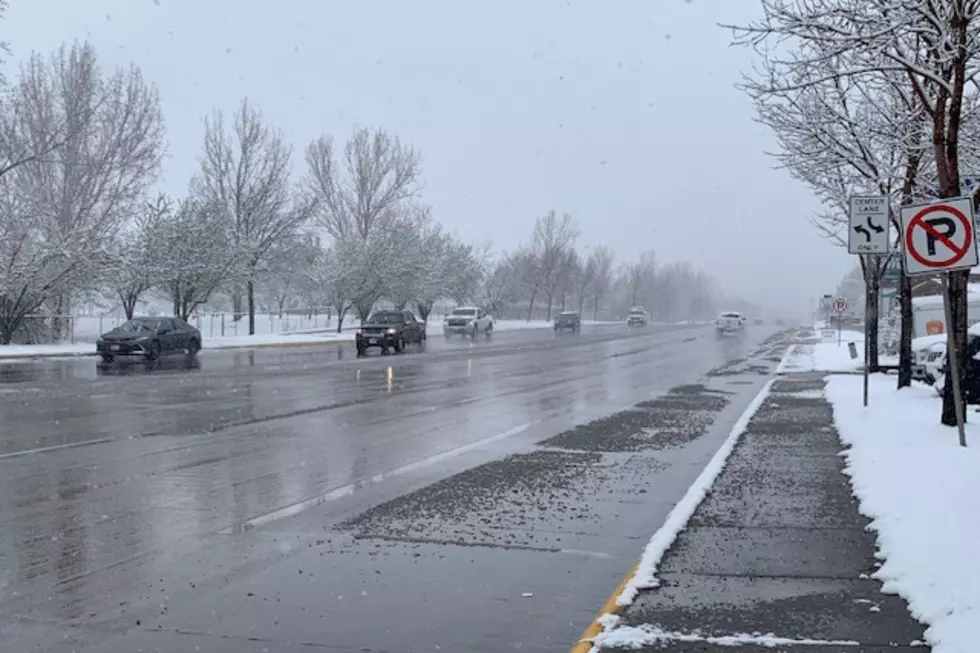
Flood Potential In Montana
The snow pack throughout Western Montana is higher than it has been in more than a decade which means a high potential for floods. On Thursday the snow pack was 140% of average, in the upper Clark Fork area. Hydrologist with the National Weather Service, Ray Nickless says the highest potential for flooding is in creeks in the Mission Mountains in Lake County, the Little Bitterroot River and Thompson River in Sanders County, Ashley Creek in Flathead County and the Fisher River in Lincoln County . Nickless says Western Montana will reach the flood stage soon as we see temperatures increase.
Nickless suggests sandbagging areas that have been vulnerable to flooding in the past, now.
More From Newstalk KGVO 1290 AM & 98.3 FM